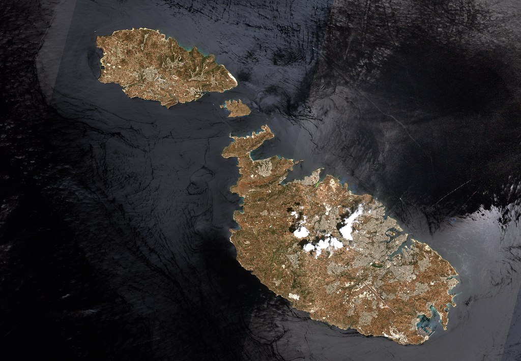
When a devastating magnitude 7.4 earthquake hit western Colombia on August 10, 2026, killing residents and leveling buildings around San José de Palmar, in the department of Chocó, authorities faced an unsettling reality: the country had no functioning satellite of its own to survey the destruction from orbit.
Instead, Colombia had to lean entirely on international goodwill. It activated the International Charter on Space and Major Disasters, a global cooperation network that pools satellite resources for countries in crisis, and also turned to Europe’s Copernicus program, widely regarded as the gold standard for disaster imaging thanks to its high-resolution, rapidly updated pictures. Even so, the first usable image — a view of storm-damaged Pereira — didn’t arrive until August 12, two full days after the quake. Of nearly 650 satellite scenes reviewed by Colombia’s disaster management agency, only about 130 proved clear enough to use, the rest blocked by clouds or incomplete coverage.
The gap traces back to FACSAT-2, nicknamed Chiribiquete, Colombia’s own Earth-observation satellite launched in April 2023 at a cost of roughly 4 billion pesos (about $1 million USD). Designed to operate for five to fifteen years, it failed after just two and a half, leaving the country without a domestic space asset during a moment of dire need. A successor, FACSAT-3, backed by more than 100 billion pesos (roughly $25 million USD), isn’t expected to launch before 2030.
Curious how Colombia’s space ambitions unraveled? Read the full investigation at El Tiempo.
 Source: La desconocida historia del satélite de Colombia que se perdió antes de tiempo y costó cuatro mil millones de pesos (eltiempo.com).
Image: europeanspaceagency, BY-SA 2.0 (via Openverse).