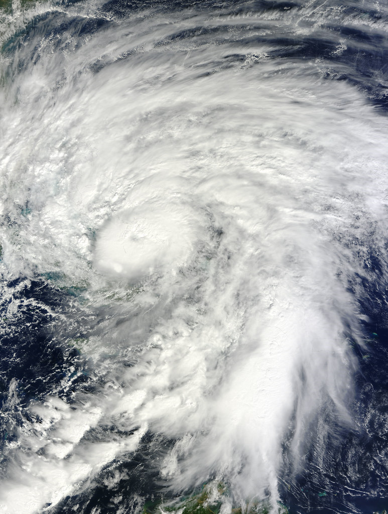
Hurricane Polo has rapidly intensified into a Category 5 storm, the highest and most dangerous classification on the Saffir-Simpson scale, as it moves sluggishly along Mexico’s Pacific coast. Meteorologists say the storm’s slow pace could prolong its impact on the region, increasing the risk of flooding and landslides.
Forecasters are warning residents in the states of Michoacán and Guerrero to prepare for intense to heavy rainfall in the coming hours and days. Both states include popular tourist destinations and coastal communities that are particularly vulnerable to storm surge and swollen rivers during major hurricanes.
Category 5 hurricanes carry sustained winds of at least 157 mph (252 km/h), capable of causing catastrophic damage to infrastructure, uprooting trees, and triggering widespread power outages. Authorities in the affected areas are urging residents to stay alert to official updates, avoid coastal areas, and follow evacuation guidance if issued.
While Polo remains offshore for now, its size and strength mean that even without making direct landfall, its outer bands could bring dangerous conditions to nearby communities. Emergency services are on standby to respond to potential flooding, mudslides, and other hazards linked to the storm’s heavy rains.
To read the full report and follow updates on Hurricane Polo’s path, check out the original article from Reforma.
 Source: Se desplaza lento 'Polo' como huracán 5 (Reforma).
Image: NASA Goddard Photo and Video, BY 2.0 (via Openverse).