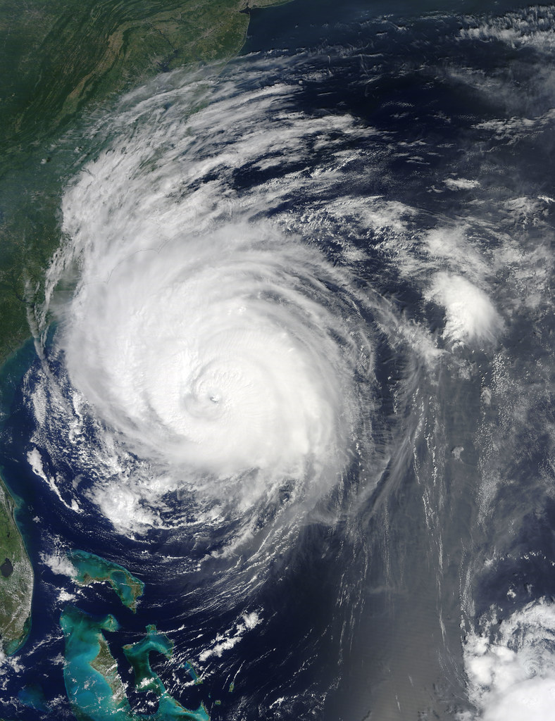
Hurricane Polo has intensified into a Category 2 storm in the Pacific Ocean, according to Mexican meteorological authorities, who are warning that the system could strengthen even further in the hours ahead.
Category 2 hurricanes on the Saffir-Simpson scale carry sustained winds between 96 and 110 mph (154 to 177 km/h), strong enough to cause significant damage to roofs, trees, and power lines. Storms in this range are considered a serious threat, and any further intensification would push Polo closer to “major hurricane” status, meaning Category 3 or above.
Hurricanes forming off Mexico’s Pacific coast are common during the region’s hurricane season, which typically runs from mid-May through November. Coastal states along this stretch, including Jalisco, Colima, and Guerrero, are frequently monitored for potential landfall or close approaches that can bring dangerous surf, heavy rainfall, and flooding even without a direct hit.
Authorities have not yet detailed a confirmed landfall location, but they are urging residents and tourists in coastal areas to stay alert to official updates as the storm’s path and strength continue to be tracked. For the latest details on Hurricane Polo’s projected path and intensity, read the full report from informador.mx.
 Source: Huracán 'Polo' se intensifica a categoría 2 y amenaza con fortalecerse aún más (informador.mx).
Image: NASA Goddard Photo and Video, BY 2.0 (via Openverse).