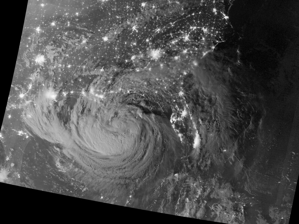
Weather officials in western Mexico are tracking tropical storm system Rachel as it reaches its closest point to the state of Jalisco, home to the city of Guadalajara. According to the report from informador.mx, forecasters expect the system’s proximity to bring rainfall across the region on Wednesday and Thursday.
Jalisco, located along Mexico’s Pacific coast, often feels the effects of tropical systems that form or travel through the eastern Pacific during the region’s rainy season, which typically runs from roughly June through October. Even when a storm doesn’t make direct landfall, its outer bands and the moisture it pulls northward can trigger heavy downpours, gusty winds, and localized flooding in low-lying or hillside areas.
Local authorities are likely to monitor river levels and advise residents in flood-prone zones to take precautions as the rain moves in. Mexican civil protection agencies typically issue updates as storms evolve, since tropical systems can shift intensity and track with little notice.
For readers in Jalisco and nearby states, it’s worth keeping an eye on official forecasts over the coming days, since the heaviest rain is expected midweek.
For the full details and the latest updates from informador.mx, read the original report (in Spanish).
 Source: 'Rachel' se ubica en su punto más cercano a Jalisco; prevén lluvias para miércoles y jueves (informador.mx).
Image: NASA Goddard Photo and Video, BY 2.0 (via Openverse).