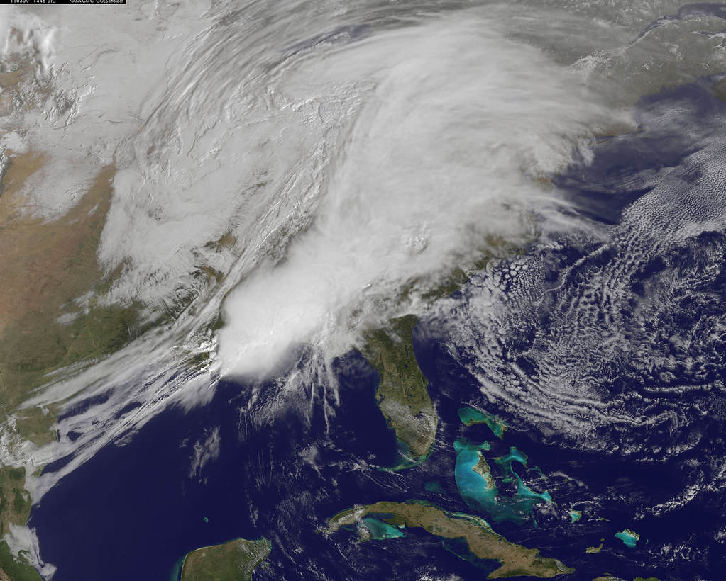
Mexico’s meteorological services are closely monitoring a weather disturbance forming off the nation’s coast, which forecasters expect to develop into a named tropical system called Odalys. The system is on track to take shape in the coming hours, according to official reports.
Odalys is expected to influence weather patterns across parts of Mexico beginning this Sunday, potentially bringing rain, gusty winds, and unsettled conditions to coastal and nearby inland areas. Authorities are urging residents in vulnerable zones to stay alert to official updates as the system’s exact path and intensity become clearer in the coming days.
Tropical systems forming off Mexico’s Pacific or Gulf coasts during this time of year are not unusual, as the region sits within an active hurricane season that typically runs from May through November. Local civil protection agencies routinely issue advisories as these systems develop, since even weaker storms can trigger flooding, landslides, and dangerous surf conditions in coastal communities.
As Odalys continues to organize, officials say they will provide updated forecasts detailing expected rainfall, wind speeds, and the storm’s projected track. Residents along Mexico’s coastlines are advised to prepare emergency supplies and follow guidance from local authorities in case conditions worsen.
For the full details and the latest forecast updates, read the original report at informador.mx.
 Source: "Odalys" está a punto de nacer frente a costas mexicanas (informador.mx).
Image: NASA Goddard Photo and Video, BY 2.0 (via Openverse).