El Niño, the periodic warming of surface waters in the tropical Pacific Ocean, has left its mark on Jalisco over the past 30 years, influencing rainfall patterns, temperatures, and drought conditions across the western Mexican state.
The climate pattern, which occurs every few years and can last from several months to over a year, tends to disrupt normal weather systems throughout the region. In Jalisco—home to the metropolitan area of Guadalajara, Mexico’s second-largest city—these disruptions have historically translated into drier-than-normal conditions during certain seasons, along with shifts in temperature that affect agriculture, water supplies, and daily life for residents.
Understanding El Niño’s track record in the state matters because Jalisco relies heavily on predictable seasonal rains for farming and reservoir levels. When the pattern intensifies, local authorities and farmers alike must adjust expectations for the growing season and water management strategies.
Looking at three decades of data offers valuable context for how the phenomenon has evolved and what current forecasts might mean for the region going forward, especially as climate variability becomes an increasingly pressing concern worldwide.
For the full breakdown of how El Niño has historically affected Jalisco, including specific data and expert analysis, check out the original report from Informador.mx.
 Source: Cuando "El Niño" llega a Jalisco: así ha sido su impacto en los últimos 30 años (informador.mx).
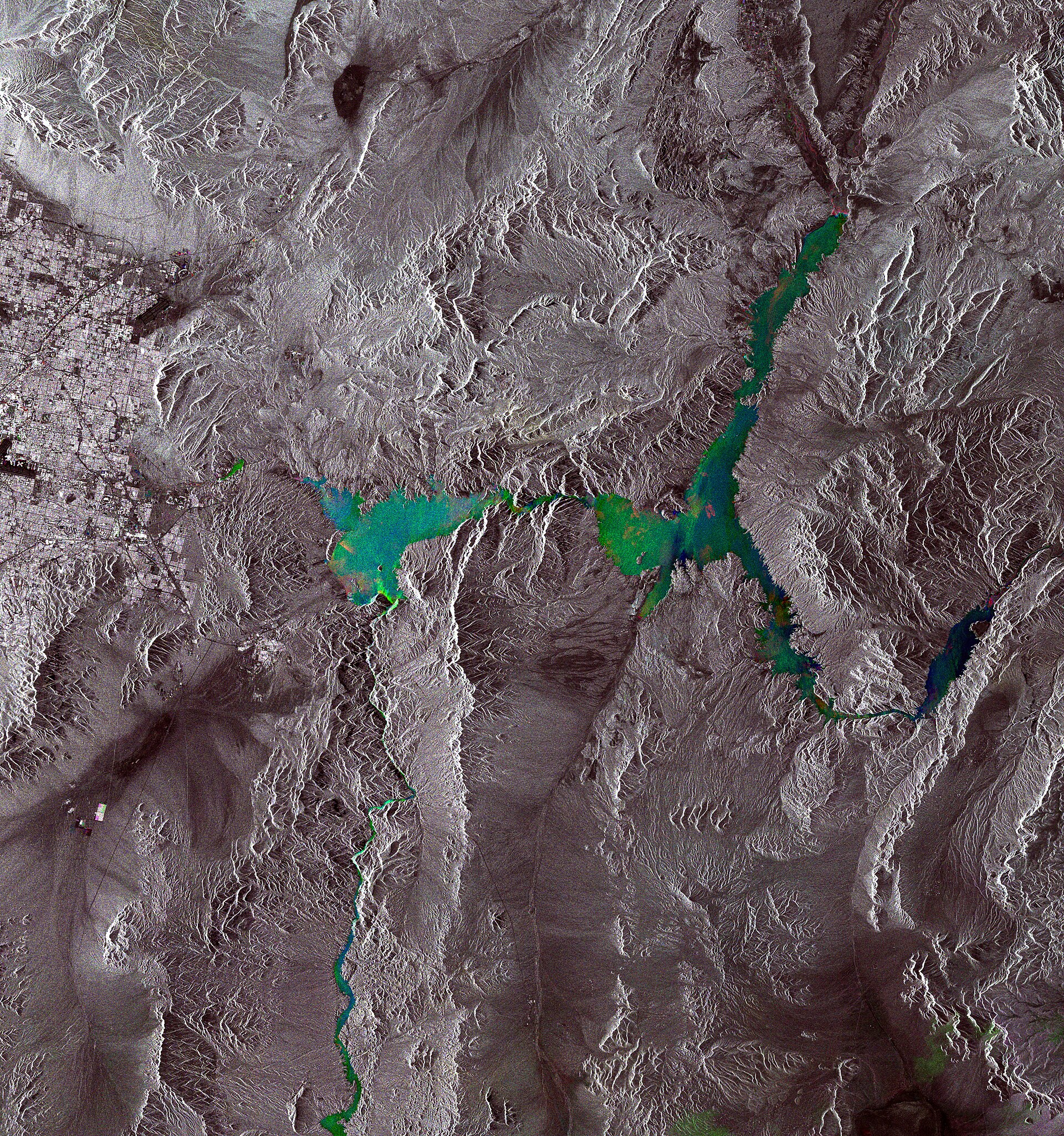
Image: Envisat satellite.