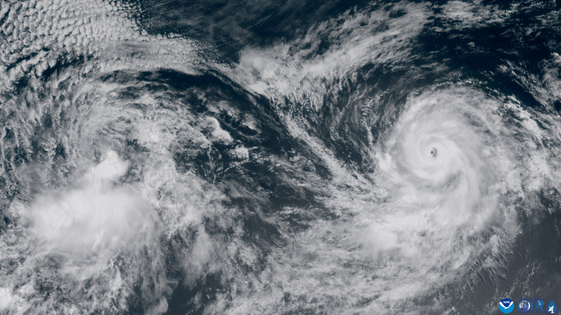
A hurricane brewing off Mexico’s Pacific coast has rocketed into one of the most powerful storms this season, catching meteorologists’ attention with the speed of its growth.
On Tuesday, a NOAA “Hurricane Hunter” reconnaissance plane flew directly into Hurricane Polo and clocked sustained winds of roughly 180 mph (285 km/h), with even stronger gusts. That puts Polo at category 5, the top rung of the Saffir-Simpson wind scale — and the third storm to reach that threshold in the Pacific this year. The US National Hurricane Center in Miami described the storm’s 24-hour intensification as “truly remarkable” and warned that Polo remains “extremely dangerous.”
Forecasters expect the slow-moving storm to pass close to Mexico’s southwestern coastline without making a direct landfall. Still, President Claudia Sheinbaum urged residents in the states of Jalisco, Colima and Michoacán to stay alert, as Polo is expected to unleash torrential rain — up to 6 inches (15 cm), with isolated spots seeing 8 inches — raising the risk of flash floods and mudslides. Dangerous swells and life-threatening surf are also expected along the coast in coming days.
Experts say Polo is drawing extra energy from unusually warm Pacific waters linked to this year’s El Niño, now the strongest on record, with sea temperatures in a key region surpassing the previous 2015 peak. Warmer waters tend to fuel stronger storms, and Polo is forecast to remain a category 5 hurricane for several more days.
You can read the full BBC report for more details.
Source: Hurricane Polo intensifies into rare category 5 storm off the coast of Mexico (feeds.bbci.co.uk).
Image: GOES imagery: CSU/CIRA & NOAA.