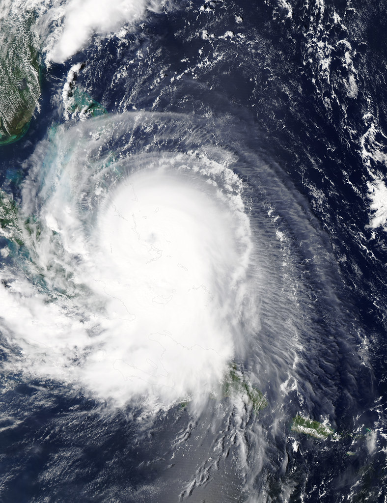
A hurricane churning off Mexico’s Pacific coast has rapidly gained strength, reaching Category 4 status—the second-highest level on the five-tier scale used to measure hurricane intensity. Named Polo, the storm now packs sustained winds capable of causing severe damage to structures, uprooting trees, and triggering long-lasting power outages in any area it might strike directly.
Category 4 storms are considered extremely dangerous, with wind speeds typically ranging from 130 to 156 mph (209 to 251 km/h). Meteorologists are tracking Polo’s path closely, as hurricanes forming in the eastern Pacific can threaten coastal communities in states such as Jalisco, Colima, Michoacán, and Guerrero, even if the storm’s center stays offshore, since outer bands often bring heavy rain, dangerous surf, and flooding risks.
Mexican civil protection authorities routinely issue advisories urging residents in coastal and low-lying areas to stay alert to official updates and prepare emergency supplies when storms of this magnitude approach. Fishing communities and tourist destinations along the Pacific coast are typically among the first to feel the effects of increased swells and gusty winds.
For the full details on Hurricane Polo’s trajectory and potential impact, read the original report at informador.mx.
 Source: El huracán Polo se fortalece a categoría 4 en el Pacífico frente a las costas de México (informador.mx).
Image: NASA Goddard Photo and Video, BY 2.0 (via Openverse).