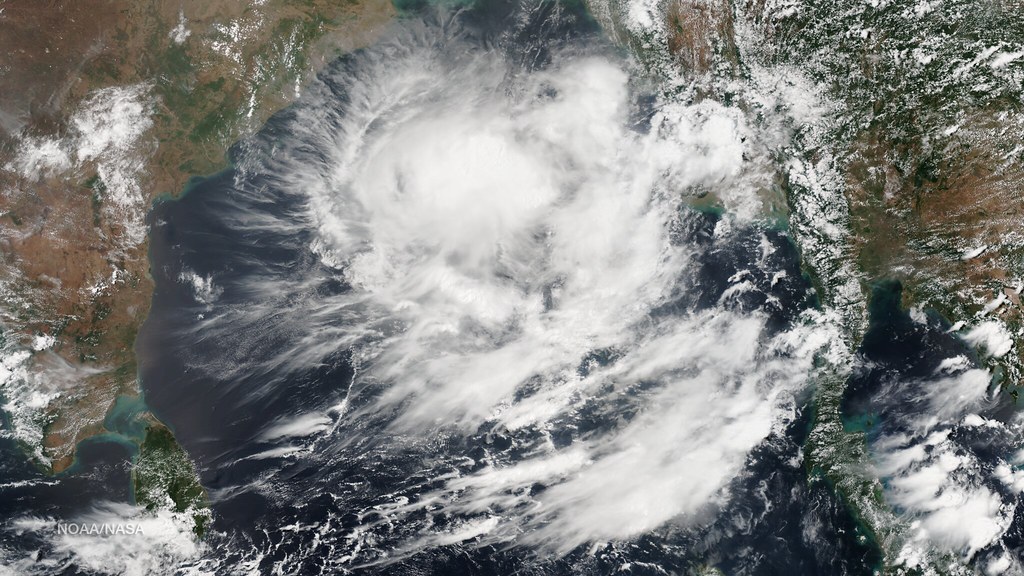
Tropical Storm Simon, which had remained largely stationary over the past several days, is forecast to resume its forward movement later today, according to Mexican meteorological officials cited by informador.mx. The storm’s lack of motion had kept forecasters on alert, as slow-moving tropical systems can dump heavier rainfall over the areas beneath them.
Authorities are now watching closely to see which direction Simon will take once it begins tracking again, since that will determine which coastal communities in Mexico could face impacts from wind, rain, or rough seas in the coming days. Mexico’s Pacific and Gulf coasts are frequently affected by tropical storms and hurricanes during the Atlantic and Eastern Pacific hurricane seasons, which typically run from late spring through November.
While specific wind speeds, projected paths, and potential landfall points were not detailed in the initial report, officials are expected to issue updated advisories as the storm’s new trajectory becomes clearer throughout the day. Residents in low-lying or coastal areas are generally advised to stay alert to official updates from Mexico’s National Meteorological Service during active storm periods.
For the full update on Tropical Storm Simon’s movement and the latest forecasts, read the original report at informador.mx.
 Source: Tormenta tropical "Simon" comenzará a desplazarse hoy (informador.mx).
Image: NASA Goddard Photo and Video, BY 2.0 (via Openverse).