Forty-four years ago, before dawn broke over San Salvador, a wall of earth and debris tore loose from the slopes of El Picacho, a prominent hill that rises above the Salvadoran capital as part of the San Salvador Volcano complex. After days of relentless rain had soaked the volcanic soil, the hillside gave way at around 5 a.m., sending a massive landslide down through the El Níspero ravine and straight into the densely populated Montebello neighborhood below.
The 1982 disaster remains etched in the memory of San Salvador residents as one of the city’s most destructive natural catastrophes. Heavy rainfall combined with unstable, eroded terrain and rapid, often unregulated urban growth on hillsides has long made El Salvador’s capital vulnerable to landslides, a risk that persists today in many of its steep, informally settled neighborhoods.
To mark the anniversary, El Diario de Hoy has published an archival photo gallery documenting the aftermath of the tragedy, offering a visual record of the destruction that swallowed homes and altered the landscape of Montebello in a matter of minutes. The images serve as a somber reminder of the ongoing threat that heavy tropical rains pose to communities built along the volcanic slopes surrounding San Salvador.
To see the full collection of historic photographs from that devastating morning, read the original story at El Diario de Hoy.
 Source: A 44 años de la tragedia: Las imágenes del deslave que sepultó Montebello en 1982 (El Diario de Hoy).
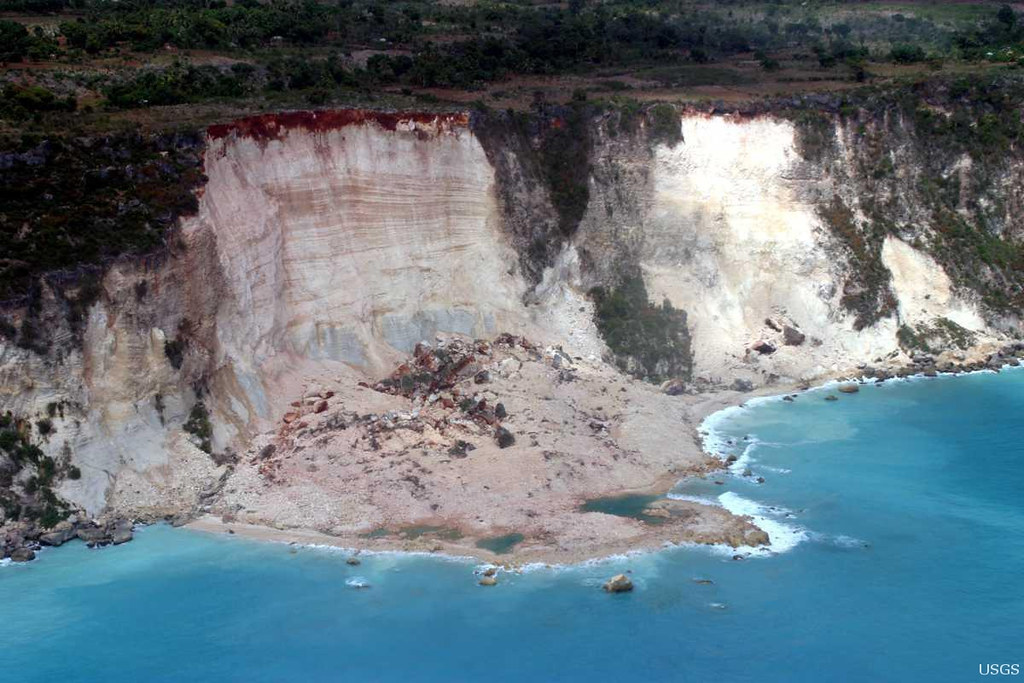
Image: U.S. Geological Survey, CC0 1.0 (via Openverse).